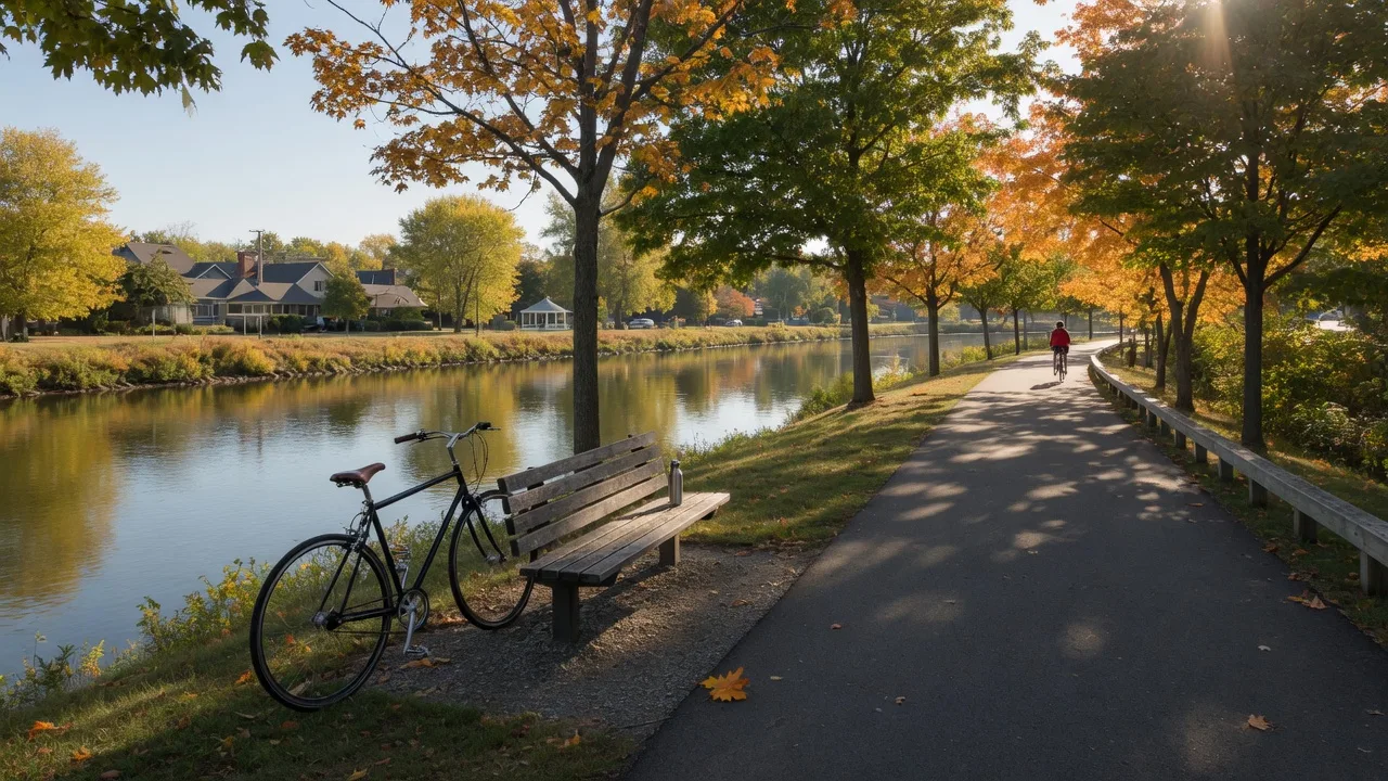
Cycling in Tualatin, trails at the door.
A paved riverside trail runs a few minutes from the house, and Oregon's designated scenic bikeway crosses the farms just up the road. Here is how to ride the Tualatin area, from family loops to a 50-mile challenge.
Living at 22379 SW 107th Ave means the region's best paved riding starts almost literally at your doorstep. The Tualatin River Greenway Trail winds through the trees a short pedal away, city streets here are mostly flat and quiet, and within a half hour you can be riding country roads through Washington County farmland.
Whether you ride for the morning coffee loop or the all-day epic, here are the routes worth knowing, with links to maps and official descriptions.
The Everyday Ride
The Tualatin River Greenway Trail.
The Tualatin River Greenway Trail is the heart of neighborhood riding here: a paved, roughly 12-foot-wide multi-use path that follows the river through trees and wetlands. TrailLink maps it running about four to five miles from the SW Tualatin Dr area to SW Natchez Ct, and the city's newer Barngrover Way section gives riders some of the smoothest new pavement in town.
It is flat, family-friendly, and handy for everything from a sunset cruise to a commute-adjacent ride along the water, with parks like Browns Ferry and Tualatin Community Park along the way. Because it is a shared path, it is also the easiest trail in the area for kids on their first big-kid bikes.
The Big Ride
Oregon's Tualatin Valley Scenic Bikeway.
When you want to ride for hours, Oregon has a designated answer: the Tualatin Valley Scenic Bikeway, a state-recognized route of about 50 miles that is 100 percent paved and rated moderate. It starts at Rood Bridge Park in Hillsboro and rolls through farm country on quiet back roads, past farmers markets and a winery, working its way through Forest Grove, Verboort, Roy, and Banks before linking up with the 21-mile, car-free Banks-Vernonia State Trail. Travel Oregon and Tualatin Valley visitors both publish full route details.
Fall is a beautiful window for this ride: corn fields going gold, farm stands open, and the crowds of summer long gone. Plan a full day, bring layers, and consider a sag wagon of snacks for the stretch through Verboort.
More Miles
When you want a climb.
For road riders who want elevation, the Henry Hagg Lake loop near Forest Grove is the classic workout: roughly 25 miles of paved road circling the reservoir, with rolling hills, farm views, and a well-earned picnic stop at the lake. It is the closest thing to a training route in the Tualatin Valley, and it is a manageable half-hour drive from home.
Want zero cars instead? The car-free Banks-Vernonia State Trail, Oregon's first rail-to-trail state park, delivers 21 miles of protected riding through the Coast Range foothills right where the Scenic Bikeway ends.
Plan Your Ride
Local bike support.
Tualatin even has a dedicated bike shop and coffee bar now: Local Cyclist, at 8680 SW Old Tualatin Sherwood Rd, pairs a full-service repair shop with a Water Avenue coffee bar, an ideal post-ride stop. The city's Greenway Trail page and TrailLink both have current maps and access points.
Keep Exploring
More ways outside.
Cycling is one great way to use the river corridor. Read about the expanded Greenway Trail and riverfront park plans, see the wider parks and greenways guide, or trade wheels for a paddle with our kayaking guide to the Tualatin River.
An Active Neighborhood
Minutes from 22379 SW 107th Ave.
Trails at the door, farms up the road, and the river in between: that is everyday life in Tualatin. If you are ready to see what this community feels like, Paul Knighton of MORE Realty can show you around.
Schedule a Tour